PROFESSIONAL SURVEYING AND MAPPING COMPANY
Providing unprecedented service to our clients throughout Alberta and Saskatchewan
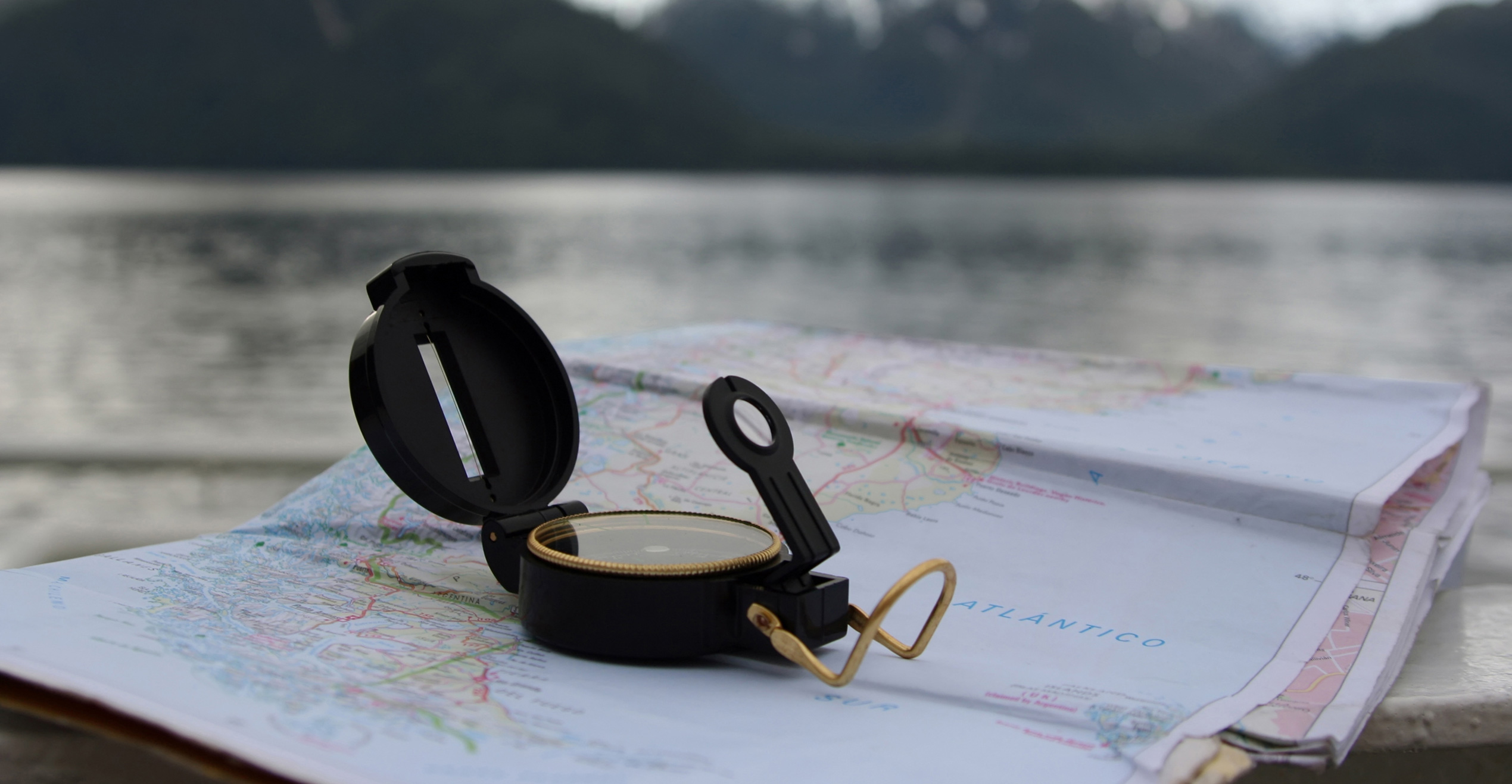
Let Compass get your product pointed in the right direction.
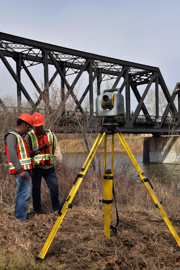
3D SCANNING
Toll Free 1-855-356-0111
3D SCANNING
Using the latest Trimble SX10™ technology Compass can collect, analyze, and process 3D scans. This scanner is also a high precision total station which enables the integration of conventional surveying into scanned projects. Scanning provides incredibly accurate and detailed data sets in a fraction of the time compared to traditional survey methods. Our CAD specialists are equipped with a full suite of software to derive a multitude of products from scanning data. Some applications include:
- As-built of existing infrastructure
- Structural analysis
- Deformation surveys
- Ground relief/contour analysis
- Project planning and virtual design
- Floor flatness testing
- Volumetric Surveys
- Sample 3D PDF
- Sample 3D Scan of PIL Site
- Sample 3D Bridge Scan
- Sample 3D Plant Site Scan
- Sample 3D Station Site
UAV
Toll Free 1-855-356-0111
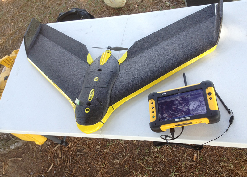
UNMANNED AERIAL MAPPING
Compass's Aerial Mapping Service is the perfect way to capture oil and gas facility information. Our trained operators can geo-reference images using survey-grade GPS, meaning highly accurate distances, sizes and elevations can be measured directly from an aerial photo mosaic. When periodic site volume calculations are required for gravel piles or pits, the detailed 3D image generated by our UAV's is a cost-effective way of getting accurate volumes without the requirement of a site survey. The small size and easy deployment mean remote sites can be easily flown and a quick turnaround makes our Aerial Mapping Service perfect in critical situations where you need information and imagery fast.